At PCI Race Radios, we are proud to be The GPS Experts ™ providing you with so much more than a place to buy a GPS. We provide training, trackside support and product development.
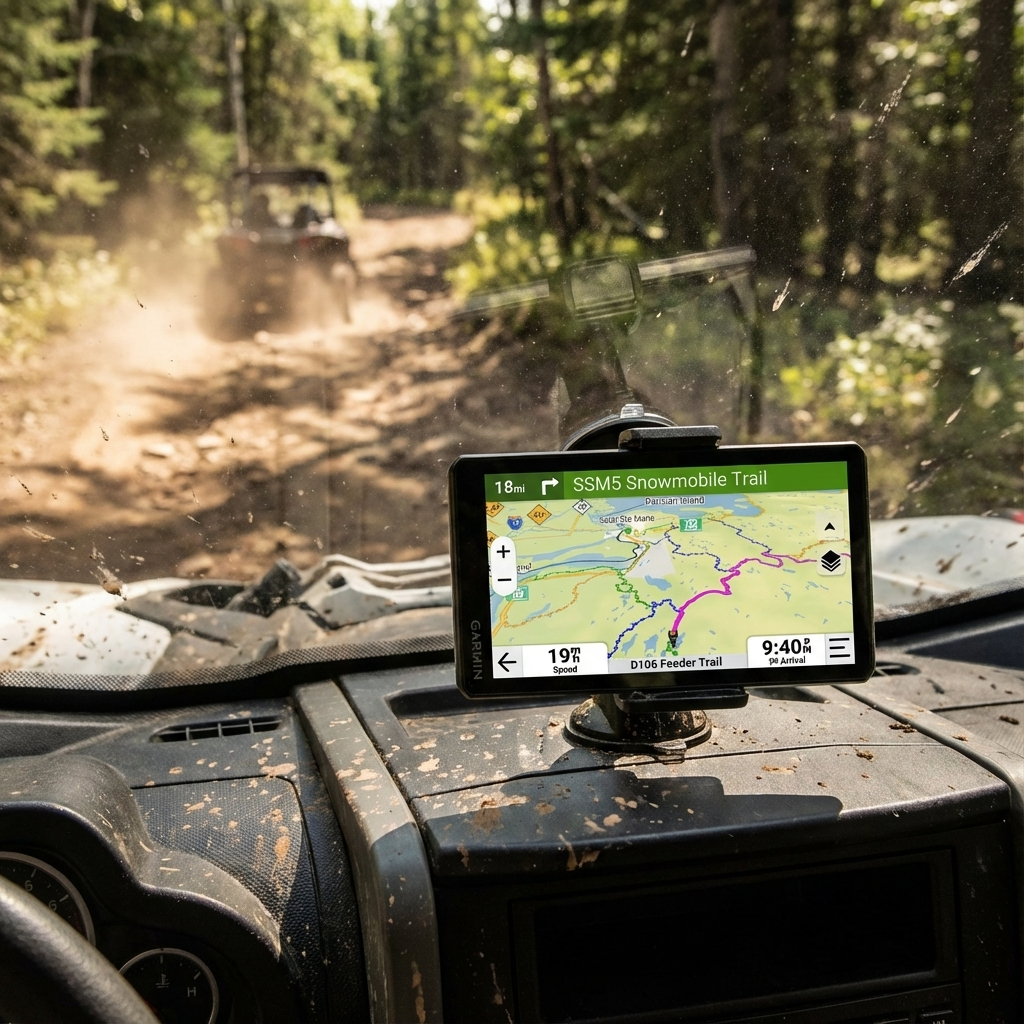
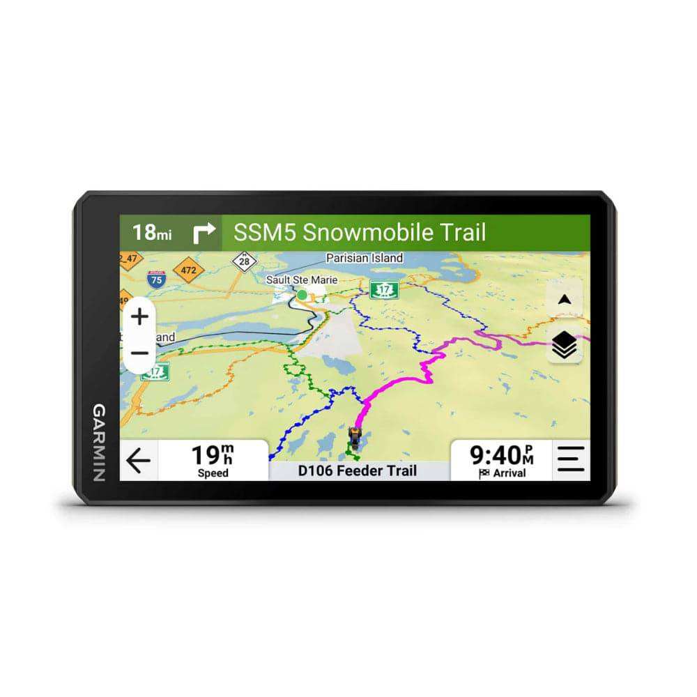
This rugged powersport navigator will show you the way, with navigation for all the places you love to ride.
RUGGED DESIGN
The 6” high-resolution, ultrabright and glove-friendly touchscreen navigator is purpose-built to withstand extreme temperatures and weather (IP67 dust/water rating) for rugged off-road adventures. The upgraded processor delivers faster performance, including map drawing and route calculations.
TURN-BY-TURN NAVIGATION
Get turn-by-turn trail navigation for unpaved roads and trails in off-road riding areas with OpenStreetMap™, U.S. Forest Service Motor Vehicle Use Maps and Adventure Roads and Trails map content.
ELEVATION MAPS AND MORE
Venture off-road with high-definition digital elevation maps for dirt and snow trails, or follow City Navigator® maps for street routes.
SATELLITE VIEWS
Download subscription-free satellite imagery directly to the device via Wi-Fi® technology to see high-resolution overhead views of routes and terrain.
Download Free PCI GPX Files Here
What's in the box
- Tread 2
- Tube mount kit
- Power cable
- USB cable
- Documentation
Specifications
General
- Dimensions: 6.15"W x 3.5"H x 1"D (15.6 x 8.9 x 2.5 cm)
- Weight: 12 oz
- Water Rating: IPX7
- Display Type: multi-touch, glass, high brightness HD color TFT with white backlight
- Display Size: 5.3"W x 3.0" H (13.3 x 7.5 cm); 6" diag (15.3 cm)
- Display Resolution: 1280 x 720 pixels
- Dual-Orientation Display
- 1.5"-2.375" Tube Mount
- Up to 1" Handlbar Mount
- Drop Rating: MIL-STD-810
- Dust Rating: IP6X
- Battery Type: rechargeable lithium-ion
- Battery Life: up to 7 hours (up to 5 hours at 100% backlight)
- Backup Camera Compatible
Maps & Memory
- Preloaded street maps
- High Definition 3D terrain
- Data cards: microSD™ card (not included)
- 3D Terrain
- Internal storage: 64 GB
- Ability to add maps
- External memory storage: (256 GB max microSD™ card)
- Includes map updates
- Downloadable Satellite Imagery
- TOPO map support
- Downloadable USGS Quad Sheets
Sensors
- GPS
- Galileo
- Barometric altimeter
- Compass
- 10 Hz multi-GNSS positioning
Outdoor Recreation
- Point-to-point navigation
- Preloaded topographical maps
- Preloaded US public land boundaries
- Preloaded private land parcel maps: parcels greater than 4 acres
- Preloaded USFS Roads and Trails, including motor-vehicle-use-maps for motorcycle, ATV, SXS and full-size 4x4
- Navigate-a-track navigation
- Turn-by-turn trail navigation
- Compatible with Outdoor Maps+ Subscription
- Navigation Features
- Garmin Real Directions™ landmark guidance
- TripAdvisor® Traveler Ratings
- Route shaping through preferred cities/streets
- Includes traffic: with Garmin Tread app
- Lane assist with junction view (displays junction signs)
- BLUETOOTH® pairing: yes (works with BLUETOOTH-compatible helmet, headset or smartphone. BLE capable.)
- Speed limit indicator (displays speed limit for most major roads in the U.S. and Europe)
Adventure Features
- Pair with compatible inReach® devices
- Pair with Garmin PowerSwitch™ digital switch box
- Compatible with handlebar controller
- Compatible with Group Ride Radio
- Group Ride Mobile: yes (with Garmin Tread app)
- Track recorder (breadcrumbs)
- Compatible with the Garmin Tread app for route planning and data management (waypoints, tracks, and routes)
- Ultimate Public Campgrounds
- Pitch and Roll gauges
- Birdseye Satellite Imagery (download via Wi-Fi)
- Glove-friendly touchscreen


