Baja Racing Gear – Return & Refund Policy
At Baja Racing Gear, we strive to provide high-quality off-road and racing gear. Our return policy balances customer satisfaction with the specialized nature of our products.
Return Window
- Most items may be returned within 30 days of the original purchase date, provided they are in original, new, unused condition with all tags and packaging intact.
Restocking Fee
- A 5% restocking fee will generally be applied to approved returns to cover credit card processing, shipping, and handling costs.
Vendor-Specific Variations
- Some return policies may vary depending upon the vendor that we use. Items from certain manufacturers (including but not limited to PCI Race Radios) may have additional restrictions or requirements. We will notify you of any vendor-specific terms at the time of purchase when possible.
Non-Returnable Items
- Special order, custom, or modified items.
- Electronics such as Starlink, Satcomm units, and related parts (final sale).
- Opened software, DVDs, or digital products.
- Items that are used, damaged (except shipping damage), or missing parts.
- Labor, service, installation, or activation fees.
- Items purchased more than 30 days ago.
Shipping Damage If an item arrives damaged, please retain all original packaging and contact us immediately with photos for a prompt resolution.
Refunds
- Refunds will be issued to the original payment method, minus any applicable restocking fees, within 5–7 business days after we receive and inspect the returned item.
- Return shipping costs are the responsibility of the customer unless the item is defective or was shipped in error.
How to Initiate a Return Contact us at [your customer service email] with your order number to request a Return Merchandise Authorization (RMA). Unauthorized returns may be refused or subject to additional fees.
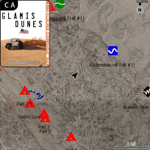
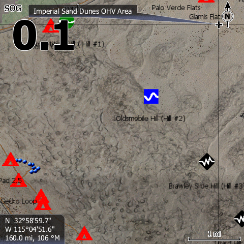
Exceptions Certain products (e.g., Lowrance GPS) may have more flexible return terms per manufacturer policy